
Map Campbell Neighbor Context
A block-level lookup begins with one known address and keeps each source in its proper lane. County parcel GIS shows the shape and APN of adjoining lots. The Assessor supplies parcel facts by situs or APN. The recorder can reveal prior owners and parties to recorded instruments, but it has no street field. A permit file can show public project contacts, while a historical reverse directory may name a listed subscriber for one year. None of these alone is a complete household list.
| Source | What It Shows About a Block | Access |
|---|---|---|
| County parcel map | Adjoining lots, APNs, geometry, and map attributes | Free browse, table view, pan, click, and export |
| Santa Clara County Assessor | Situs, APN, assessment facts, and parcel detail | Address or APN search; terms apply |
| Clerk-Recorder | Prior owners and encumbrance parties | Office research; no street-address index |
| Campbell permits | Projects along the block and public file contacts | Address interface, MGO, or focused request |
| Voter file | Permitted registration fields where lawful | Self lookup or approved statutory request |
| Reverse directory | Listed occupant or subscriber in a historical year | Library and year-specific catalog access |
| Plan areas and associations | Planning context or representative contact | Campbell site; no public member roster promised |
Owners and occupants are not the same category. An owner may receive tax mail somewhere else, and a parcel may have no public record naming the people who share it. A voter record requires a lawful access path. A neighborhood association contact represents a group, not every household in its mapped area. Use the strongest source for each narrow question, then record the date and limitation.
Campbell Neighbor Parcels in GIS
The adjacent-parcel method is a controlled walk around a Campbell address. The County of Santa Clara Open Data layer offers map and summary-table modes, so a dense block can be inspected visually and by row. Select the target, then click every polygon that touches it or use the map and table selection to collect APNs. Check each APN in the Assessor before treating a parcel as part of the block.
- Find the target address or APN in the county parcel map and zoom until the parcel edges are clear.
- Click each adjoining polygon, or select the nearby rows in the map table, and write down the APN and situs shown.
- Verify each APN in the Assessor. A mailing address, exemption, or title clue may help, but none proves who occupies the parcel.
- If the question expands to a whole named street, use the Campbell street directory for the full address-record chain.
The map's warning matters. Parcel geometry is dynamic and supplied as-is. It is useful orientation, not a survey, and the result is an owner and parcel context rather than a private household list.
Campbell Neighbor Parcels, Not Households
The county parcel layer shows adjoining lots, APNs, geometry, and map attributes. It should not be read as a household file. The Santa Clara County Assessor search can verify a situs or APN one parcel at a time, but it has no public owner-name mode and no all-residents search. A mailing address is not proof of occupancy, and the public result should not be described as a complete owner roster.
The Santa Clara County parcel dataset is the source for the map view used to inspect nearby households around a target address.
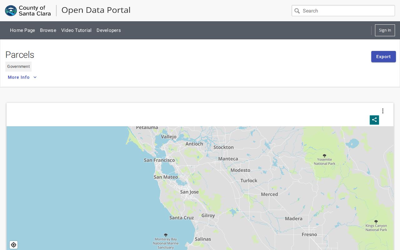
Use the picture to find the next APN, then use an authoritative parcel record to test the shape. Dynamic GIS is supplied as-is and parcel lines are orientation, not a boundary survey.
Campbell Neighbor Clues in Permit Files
Permit history adds time and project context to a block. Campbell Building is at 70 N. First Street, with building@campbellca.gov and 408-866-2130 published for assistance. Planning uses 408-866-2140. Address-based files may show a project scope, date, applicant, contractor, owner, or agent when that detail is releasable. They can explain an addition, removal, or new unit without proving who lives there.
Since May 4, 2020, new building applications have used MyGovernmentOnline, or MGO, and an account is required to submit. The city's permit map and address interface support a first pass. For earlier files, ask Building for a legacy scan or microfiche by exact address and permit type. The Campbell building application guides preserve the current MGO and addressing context. A focused request should state the address, department, record type, and date range.
Permit contacts are public project evidence, not a list of nearby households. Treat code complaints with care because an allegation, an action, and a final finding are different records.
Campbell Neighbor Context from Plan Areas
Campbell's named planning geographies add local shape without inventing a membership roll. Downtown, Winchester Boulevard, San Tomas, Campbell Village, and East Campbell Avenue help place a parcel in a city planning context. The Campbell zoning and land-use page is the city source for those area plans and address-based land-use material. Plan areas are not proof that two households belong to the same association.
| Status and group | Published geography | Public contact boundary |
|---|---|---|
| Active: Campbell Village | Union and Bascom to Camden and McGlincy, southwest Campbell | Representative contact, not a resident roster |
| Active: Downtown Campbell | Highway 17 to Winchester and Hamilton to Kennedy | Association contact only |
| Active: Hamann Park | Moorpark to Hamilton, Winchester to Highway 17; Campbell and San Jose | Cross-jurisdiction representative only |
| Active: Moreland West | Hamilton, San Tomas Aquino Road, and Campbell Avenue; Campbell and San Jose | Representative contact only |
| Inactive: Campbell Community Center | Hamilton, West Campbell, San Tomas Expressway, and Winchester | No current roster indicated |
| Inactive: Central Hazelwood | Marilyn, Linda, Connie, and Waldo | No current roster indicated |
| Inactive: Four C's | Cherry, Budd, Winchester, and California | No current roster indicated |
| Inactive: Pruneyard-Dry Creek | Bascom to Leigh and Hamilton to Dry Creek | No current roster indicated |
| Inactive: Westmont | Westmont, Silacci, Hacienda, Harriet, and Roundtree | No current roster indicated |
| Inactive: Westchester Park | Valley, McGlincy, Union, and Westchester | No current roster indicated |
The city disclaims the accuracy of association-submitted boundaries, officers, meeting schedules, dues, and newsletter details. County GIS has 12 association polygons and a nullable NeighborhoodAssociation parcel field. Those fields help with geography and contact routing, not proof that an occupant joined a group. Campbell Chamber member lists describe businesses, not Campbell neighbors. Congregation and neighborhood-watch rosters remain private unless a group affirmatively publishes a contact.
Campbell Neighbor Rules and Voter Data
California's VoterStatus tool is an identity-gated self lookup, not a public list of people near a Campbell address. It asks for a first name, last name, date of birth, and a California driver license or ID number or the last four digits of a Social Security number, depending on the registration record. A result returns the requester's status and election information. It cannot be used to browse a block by street.
- First and last name
- Matches the registration record, but remains an identity input rather than a browse key.
- Date of birth
- Helps pass the identity gate and is not displayed as a public block field.
- Driver license, California ID, or SSN4
- Provides a conditional identity match; it is sensitive and not a public directory field.
- Residence, mailing address, status, party, precinct
- Possible registration details whose release depends on a permitted purpose.
- Participation history
- Shows whether voting was credited in an election, never the person’s ballot choices.
California Elections Code sections 2180 through 2194 govern inspection and use of voter files. The California Secretary of State voter-status tool is for self-service. The Santa Clara County Registrar of Voters handles approved data requests that identify the requester, exact fields, statutory purpose, security promises, and delivery details. Do not promise a by-street voter roll.
Historical Campbell Neighbor Listings
Older Campbell households may appear in a reverse directory, telephone book, newspaper, yearbook, or local collection rather than a current parcel record. A reverse directory lists a street number and a subscriber or occupant for a dated edition. Compare adjacent years, try direction and spelling variants, and mark a missing name as not listed rather than absent. Campbell has no verified authoritative full run of every criss-cross or telephone volume.
The Campbell Library provides catalog and reference help, while the Santa Clara County Library District genealogy resources point to databases and access rules. The Campbell Historical Museum and Ainsley House adds local family, building, map, photograph, and newspaper context through its collection portal. Collection access and personal-data rules vary. Verify a date, title, and page against the archival source before treating a historical neighbor clue as fact.
Historical context also crosses jurisdictions. Campbell incorporated in 1952, and San Tomas was annexed in the 1980s after much of its development. A block may therefore appear under county, rural, San Jose-area, or Campbell headings in different years.
Official Campbell Sources vs Commercial Tools
Official block evidence is slower but easier to explain. Each source has a custodian, an access rule, and a defined record purpose. Commercial neighbor tools may combine public and licensed data, merge similar names, omit protected people, and charge for uncertain matches. They are not a substitute for a county parcel, city file, recorder instrument, library volume, or permitted voter record.
| Source category | Useful starting clue | Verification step |
|---|---|---|
| County GIS and Assessor | Parcel shape, APN, situs, and assessment facts | Check the official parcel result and legal description |
| Recorder and Campbell permits | Recorded parties, project dates, and address history | Inspect the instrument or city file through its custodian |
| Commercial neighbor database | A possible name or address association | Discard or corroborate it with an official source; do not publish it as fact |
A careful Campbell block search values a small, traceable fact over a large unnamed list. That is especially important when an address sits near a city edge or crosses a voluntary association boundary.
Privacy Limits Around Neighbor Research
Household members, people who do not own a parcel, utility customers, delivery records, and most driver information are not casual block data. A protected person may use California's Safe at Home program, which supplies a substitute mailing address and confidential forwarding for qualifying survivors and other covered participants. The California Secretary of State Safe at Home program should be treated as a shield, not a puzzle to defeat.
Public availability does not authorize a published household roster. Keep names tied to the record that actually contains them, avoid guessing relationships, and do not use an absence from a file to infer that someone is absent from Campbell. Neighbor lookups have legitimate personal uses such as block orientation, family history, reconnection, and safety awareness, but they must stay lawful and proportionate.
Lawful use. Campbell neighbor records support personal, lawful research. California Penal Code section 646.9 and Code of Civil Procedure section 527.6 address stalking and harassment; never use a lookup to watch, harass, intimidate, or harm anyone.